Sale on canvas prints! Use code ABCXYZ at checkout for a special discount!

Previous Image

|

Next Image
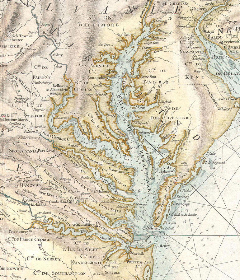
Vintage Map of The Chesapeake Bay #2 Drawing by CartographyAssociates

Similar Images

Vintage Map of The Chesapeake Bay - 1719 by CartographyAssociates
Vintage Map of The Chesapeake Bay  #1 by CartographyAssociates
Patapsco River and Chesapeake Bay Map - 1857 by CartographyAssociates
Vintage Map of The Chesapeake Bay  by CartographyAssociates
Vintage Map of The Chesapeake Bay  by Adam Shaw
Vintage Map of The Chesapeake Bay  #3 by CartographyAssociates
Vintage Map of The Chesapeake Bay Entrance - 1855 by CartographyAssociates
Vintage Map of The Chesapeake Bay - 1857 by CartographyAssociates
Vintage Map of The Chesapeake Bay - 1752 by CartographyAssociates
Vintage Crab Painting by PaintingAssociates
Vintage North Carolina and Virginia Coastal Map by CartographyAssociates
Vintage Map of Maryland  by CartographyAssociates
Crab Feast by PhotographyAssociates
Old Chesapeake Bay Map 1861 Vintage Coastal Virginia Atlas by Adam Shaw
Old Chesapeake Bay Map 1855 Vintage Virginia and Maryland Nautical Chart by Adam Shaw
Vintage Outer Banks and Chesapeake Bay Lighthouse Map  by Adam Shaw
Captain John Smith Chesapeake National Historic Trail Map 2007 Virginia and Maryland Bay Exploration by Adam Shaw

Comments

There are no comments for Vintage Map of The Chesapeake Bay #2.   Click here to post the first comment.

Recently Viewed

Vintage Map of The Chesapeake Bay #2 by CartographyAssociates
Previous Image Next Image