Sale on canvas prints! Use code ABCXYZ at checkout for a special discount!

Previous Image

|

Next Image
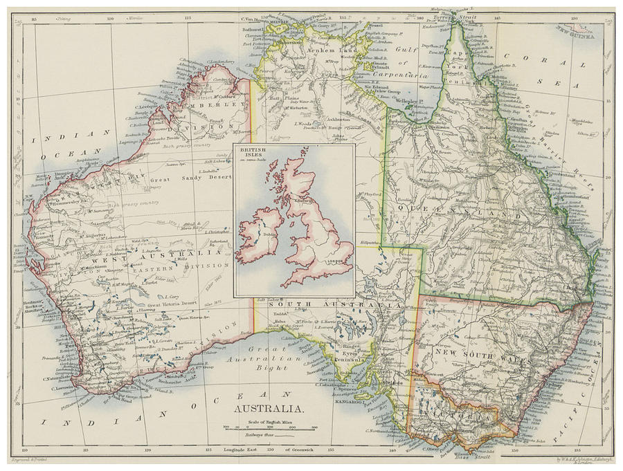
Australia and British Isles Size Comparison Map Drawing by CartographyAssociates

Similar Images

Vintage Map of Australia - 1700s by CartographyAssociates
Vintage Map of Australia  #1 by CartographyAssociates
Vintage Map of Australia  by Adam Shaw
Vintage Map of Australia  by CartographyAssociates
Vintage Map of Australia  #2 by CartographyAssociates
Vintage Map of Australia - 1814 by CartographyAssociates
Vintage Map of Australia - 1855 by CartographyAssociates
Vintage Australia and Southeastern Asia Map - 1870 by CartographyAssociates
Vintage Map of Australia - 1808 by CartographyAssociates
Vintage Map of Sydney Australia - 1922 by CartographyAssociates
Vintage Map of Eastern Australia - 1876 by CartographyAssociates
Vintage Map of Oceania - 1892 by CartographyAssociates
Vintage Map of Australia 1921 by Adam Shaw
Old Australia Commercial Shipping Route Map 1907 Vintage South Pacific Nautical Chart by Adam Shaw

Comments

There are no comments for Australia and British Isles Size Comparison Map.   Click here to post the first comment.

Recently Viewed

Australia and British Isles Size Comparison Map by CartographyAssociates
Previous Image Next Image